
Introduction
The Geomatics and Planning Laboratory is an expert group under the Department of Urban and Regional Planning, Faculty of Engineering, Diponegoro University. The Geomatics and Planning Laboratory serves as a platform for academic activities, research, and community services. The scope of the Geomatics and Planning Laboratory includes earth data processing, land use, location analysis, mobility analysis, information systems, and disaster risk studies. The expertise offered by this laboratory is essential for supporting comprehensive urban and regional planning, particularly in the implementation and application of spatial modeling.
Over the past five years, the Geomatics and Planning Laboratory has conducted various research and community service activities in collaboration with several institutions. This research has resulted in dozens of international and national publications related to the implementation of geomatics in spatial planning, such as land-use modeling, remote sensing applications, cartography, geographic information systems (GIS), transportation modeling, and boundary acquisition using GPS RTK. The laboratory has also expanded its research focus to include artificial intelligence, big data, and the Internet of Things (IoT) in support of planning education aligned with Industrial Revolution 4.0. Moreover, the Geomatics and Planning Laboratory has successfully conducted community service collaborations relevant to its areas of expertise. This activity produces various outputs related to disaster management documents, mapping, the development of spatial planning information systems, site feasibility studies, and GIS training.
Through its expertise, the Geomatics and Planning Laboratory is committed to serving as a center for the development of relevant and practical science and technology to respond to the need for sustainable spatial planning.
Head of the Geomatics and Planning Lab : Widjonarko, S.T., M.T.
Assistant of the Geomatics and Planning Lab : Kamelia Balqis, S.P.W.K.
VISION AND MISSIONS
Vision:
To become a research center in the field of geomatics and computational applications for Regional and Urban Planning on a national and international scale.
Missions:
- Conduct research to develop geomatics and computational planning knowledge to contribute to the national development.
- Produce high-quality scientific publications at the national and international levels.
- Build partnerships and networks with scientific institutions in the fields of planning, mapping, and disaster mitigation at the national and international levels.
- Provide the highest quality of services to the community in accordance with needs and technological advancements.
- Organize scientific forums for knowledge development.
- Promote improvements in the quality and capacity of laboratory resources.
Scope of Research
| GIS, Remote Sensing, dan Image Processing | |||
| Environment and Landuse Modelling | Infrastructure and Transport Modelling | Demography Modelling | Sosio-Economic Modelling |
|
|
|
|
JOURNAL
- Geoplanning: Journal of Geomatics and Planning https://ejournal.undip.ac.id/index.php/geoplanning
- Teknik PWK (Perencanaan Wilayah dan Kota) https://ejournal3.undip.ac.id/index.php/pwk
Lecturer of Geomatics and Planning Laboratory
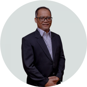 | Prof. Dr.rer.nat. Imam Buchori, S.T. i.buchori@live.undip.ac.id |
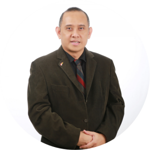 | Prof. Dr.sc.agr. Iwan Rudiarto, S.T., M.Sciwan.rudiarto@pwk.undip.ac.id |
 | Dr. Anang Wahyu Sejati, ST, MTanang@live.undip.ac.id |
 | Holi Bina Wijaya, ST, MUMhwijaya@pwk.undip.ac.id |
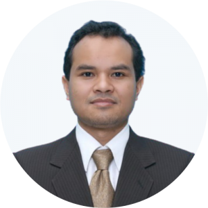 | Dr. Eng. Maryono, ST, MTmaryono@pwk.undip.ac.id |
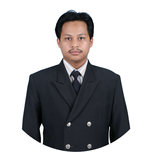 | Dr. Sariffuddin, S.T., M.T. sariffuddin@live.undip.ac.id |
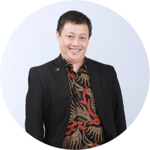 | Dr. Yudi Basuki, ST, MT.yudibasuki@lecturer.undip.ac.id |
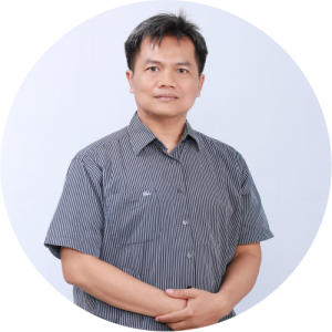 | Widjonarko, ST, MTwidjonarko@live.undip.ac.id |
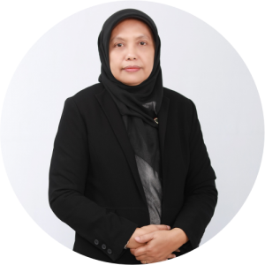 | Sri Rahayu, SSi., MSisrirahayu@lecturer.undip.ac.id |